PGE already has the first
monthly survey results for the area where the Baltica 1 offshore wind
farm will be built.
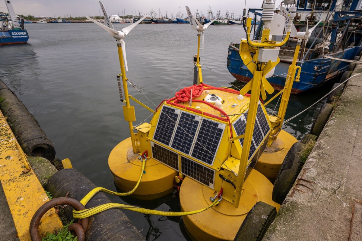
The survey buoy operating with LiDAR
technology is already at its target location, about 80 km from
Władysławowo, where it is collecting data on, among other things,
wind speed, direction, strength and turbulence. It is already
possible to assess that the quality and availability of the data
taken meet PGE Baltica's expectations.
The special survey buoy went to sea
in May this year and for the next two years will collect data to
estimate the productivity of the future Baltica1 offshore wind farm.
LiDAR technology uses light from a
laser beam that reflects off suspended particles in the air and
returns to the device. By analyzing the reflected signal, the device
estimates the speed of the air masses moving over it. The equipment
used makes it possible to perform wind surveys more than 200 meters
above sea level. Additional sensors mounted on the buoy also make it
possible to measure the movements of waves and sea currents.
The collected data will make it
possible to design the placement of the turbines so that their power
is used as efficiently as possible. The 1 GW Baltica 1 project will
be commissioned after 2030.


